Mountain Counties Facts
This page is for reference only.
For a map of the Mountain Counties Area, click here.
MOUNTAIN COUNTIES OVERLAY AREA OF CALIFORNIA; Source: California Water Plan Update 2013
View Overlay Area Map: Map-CA Water Plan-Mountain Counties Overlay reference
FACTS
• All or portion of 16 of the state’s 58 counties – southern tip of Lassen County down to Fresno
• More than 100 local governmental agencies and districts – mostly serving from 1,000 to more than 100,000 customers
• 40 percent of the state’s developed water supply originates from Mountain Counties Areas, more than from any other single source
• 15,700 square miles or 9.9 percent of the State
• Dedicated in-stream flow releases
• 383 miles of Wild and Scenic Rivers under Federal and State Law
• Managed Wetlands in the lower Bear watershed and in the upper Feather watershed
• Ten major watershed areas – 13,236 square miles
• 17 million acre-feet of natural runoff
Source: California Water Plan Update 2013
For Mountain Counties Water Resources Association boundary,click here
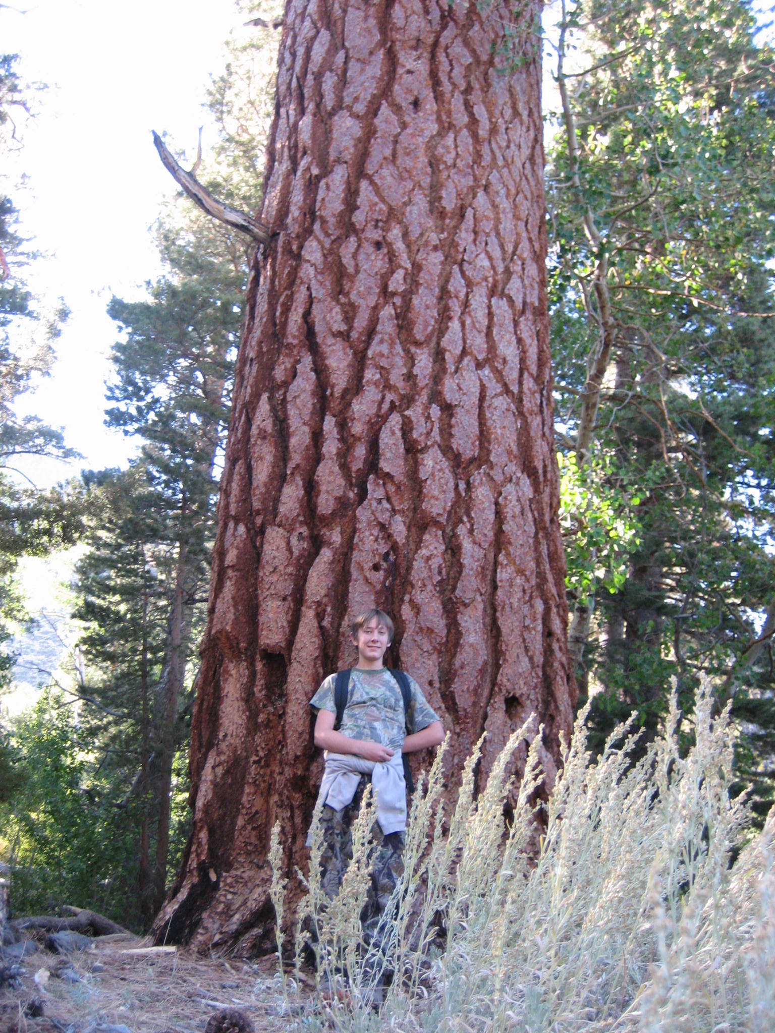
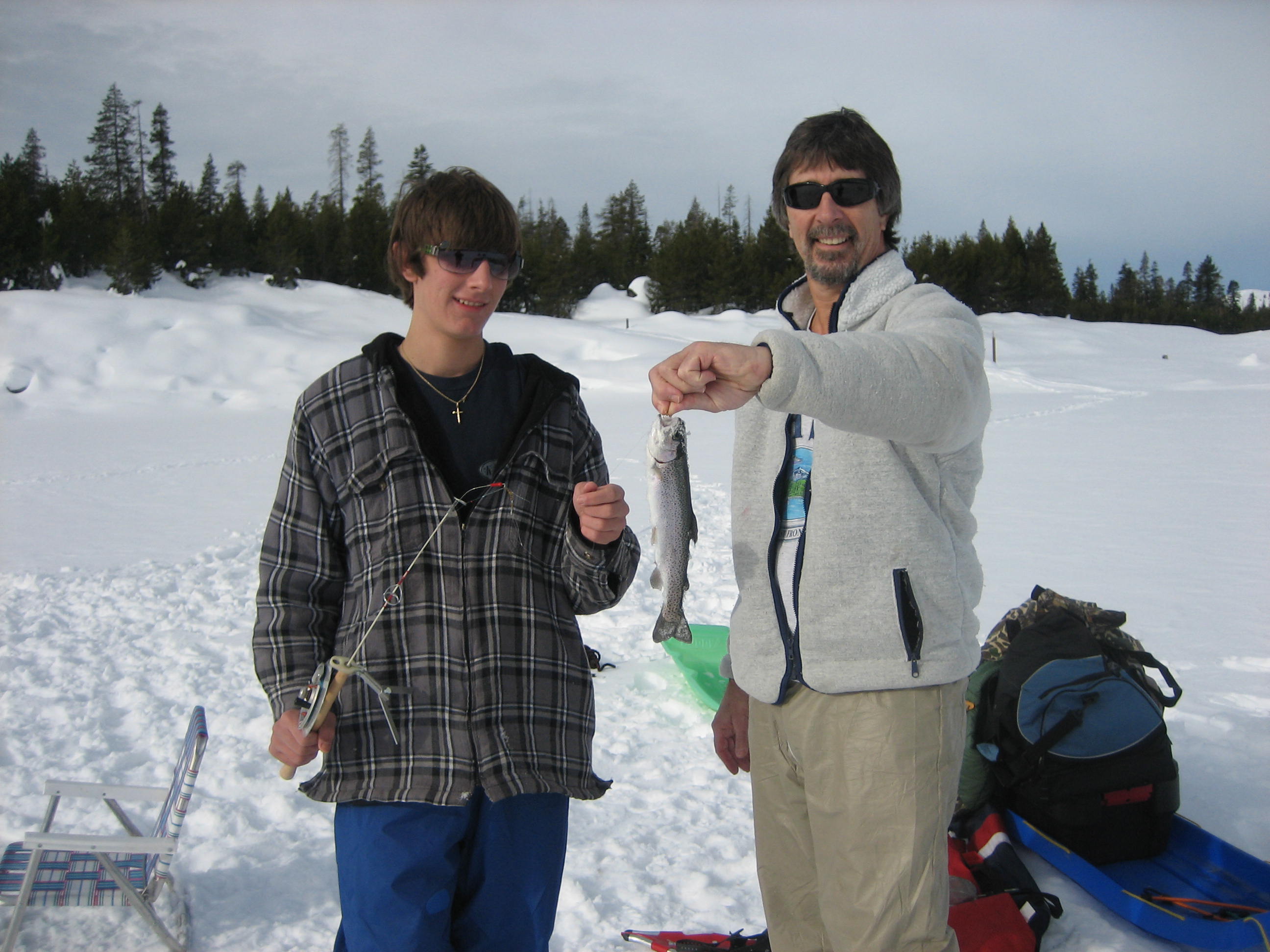
A Few of the Many Beneficial Uses of Water in the Region
-
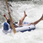
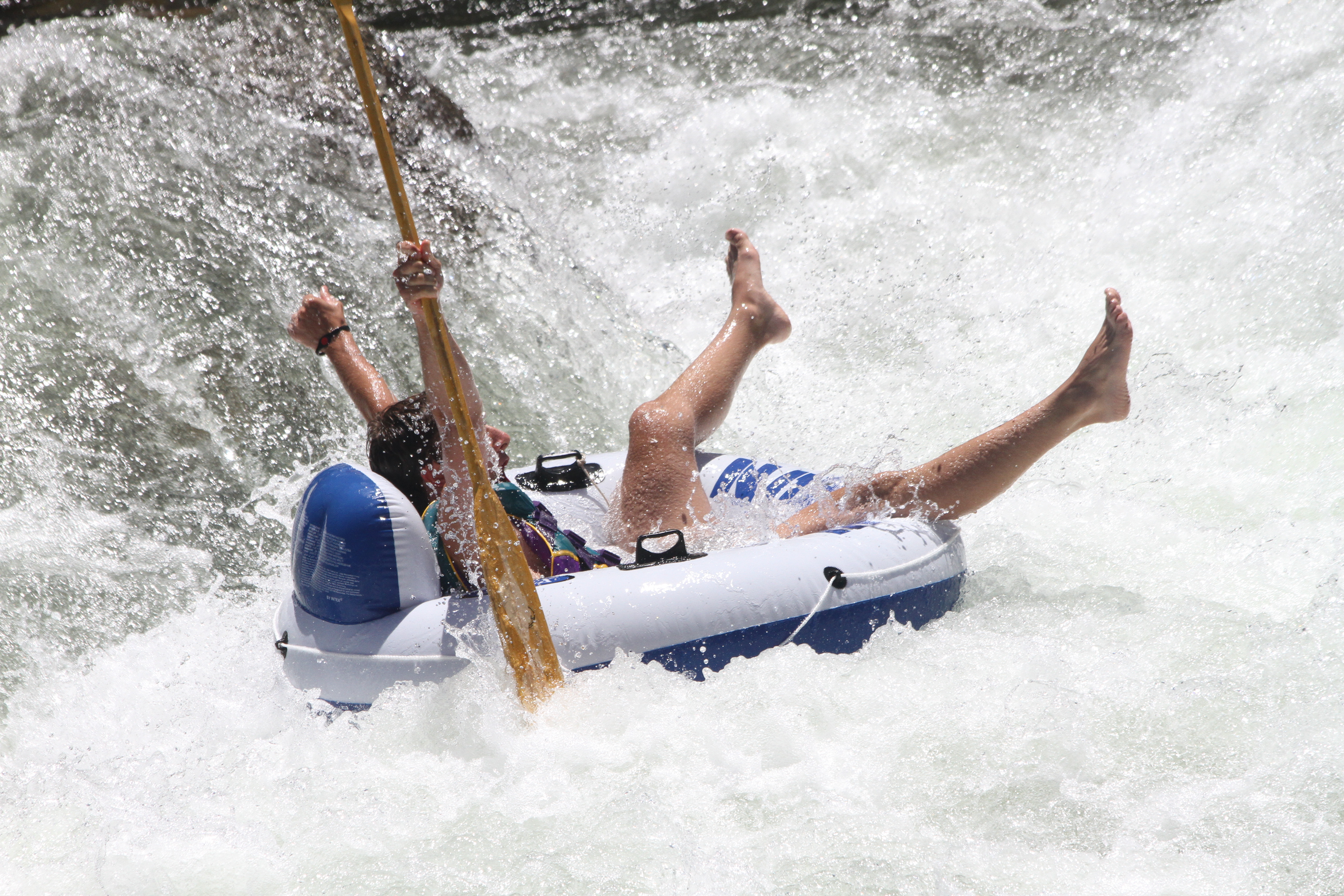
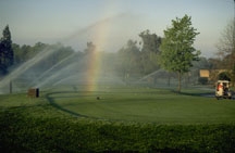
- Rafting on the American River

-
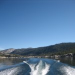
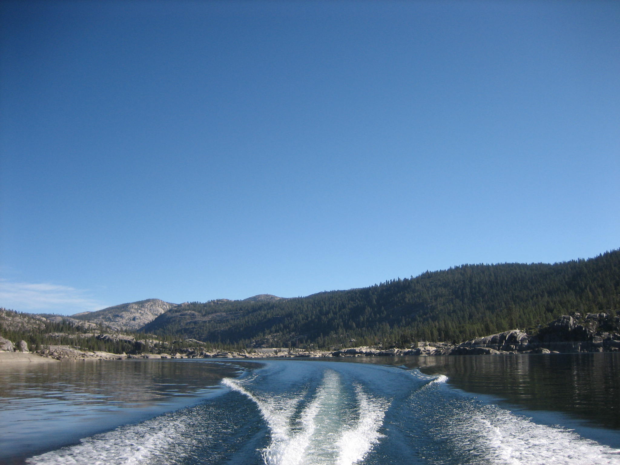
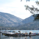
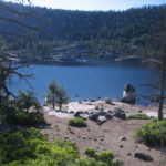
- Boating on Lower Bear River Reservoir
-
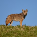
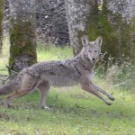
- Coyote- Amador
-
- Grazing on Open Space
-
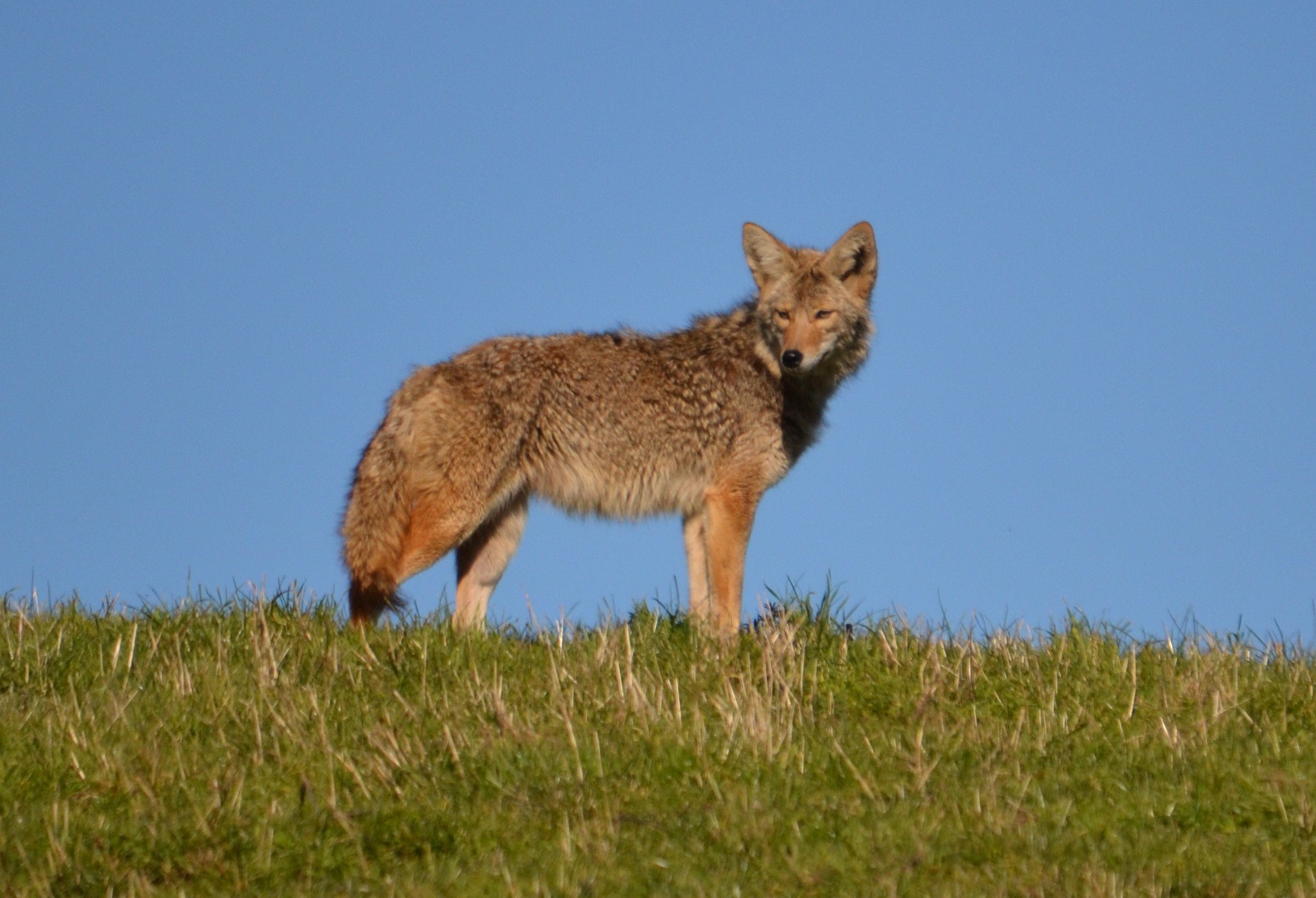
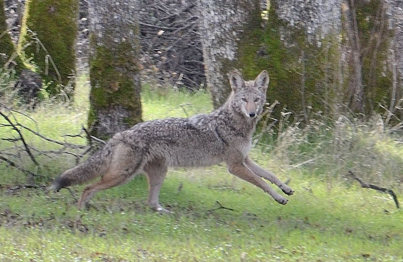
- Coyote – Placerville
-
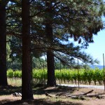
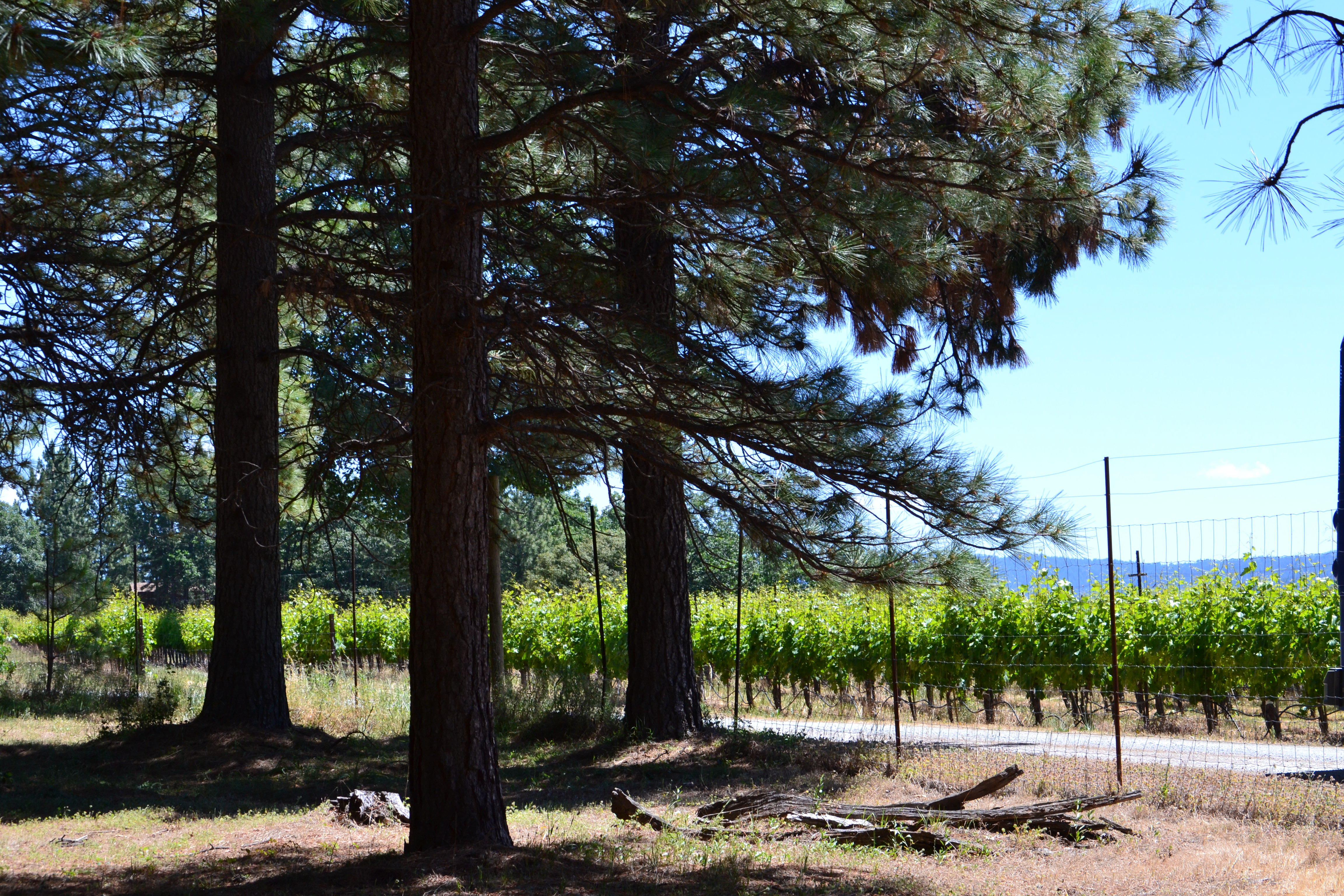
- Vineyard in El Dorado County
-
- Healthy Forest
-
- Ice Fishing at Loon Lake

-

- Chipmunk at Caples Lake

-
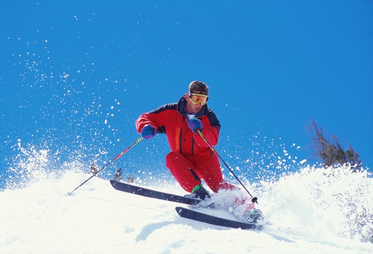
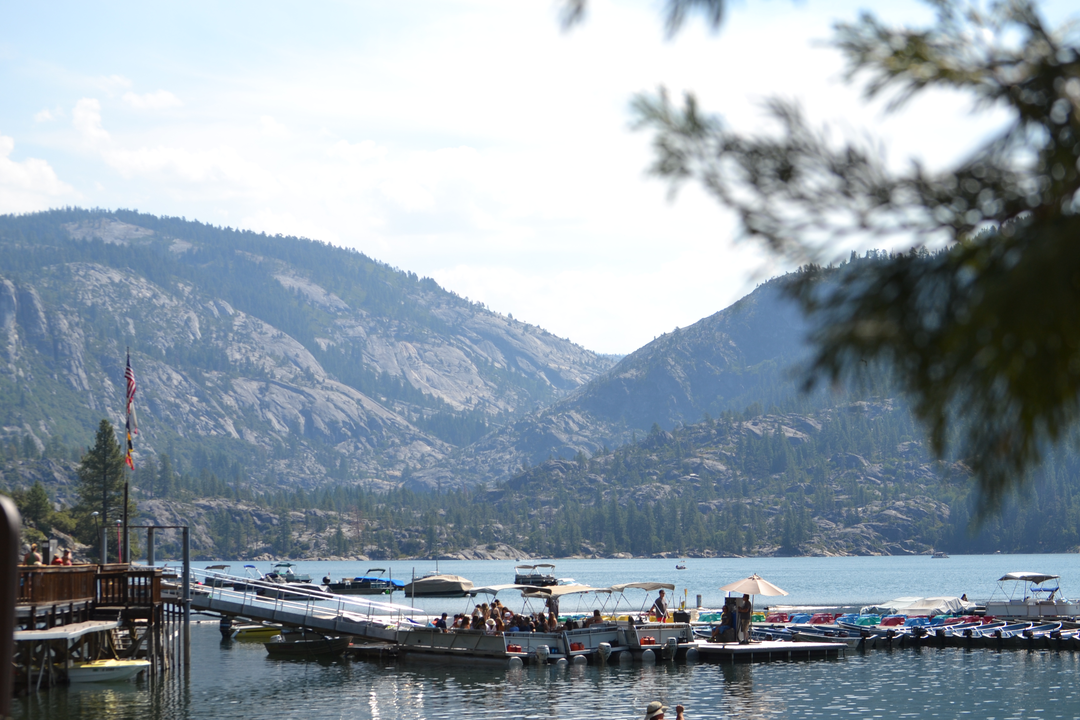
- Recreation at Pinecrest Lake
-
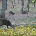
- Herd of Deer – Placerville

-

- Osprey at Bear River Reservoir

-
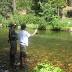
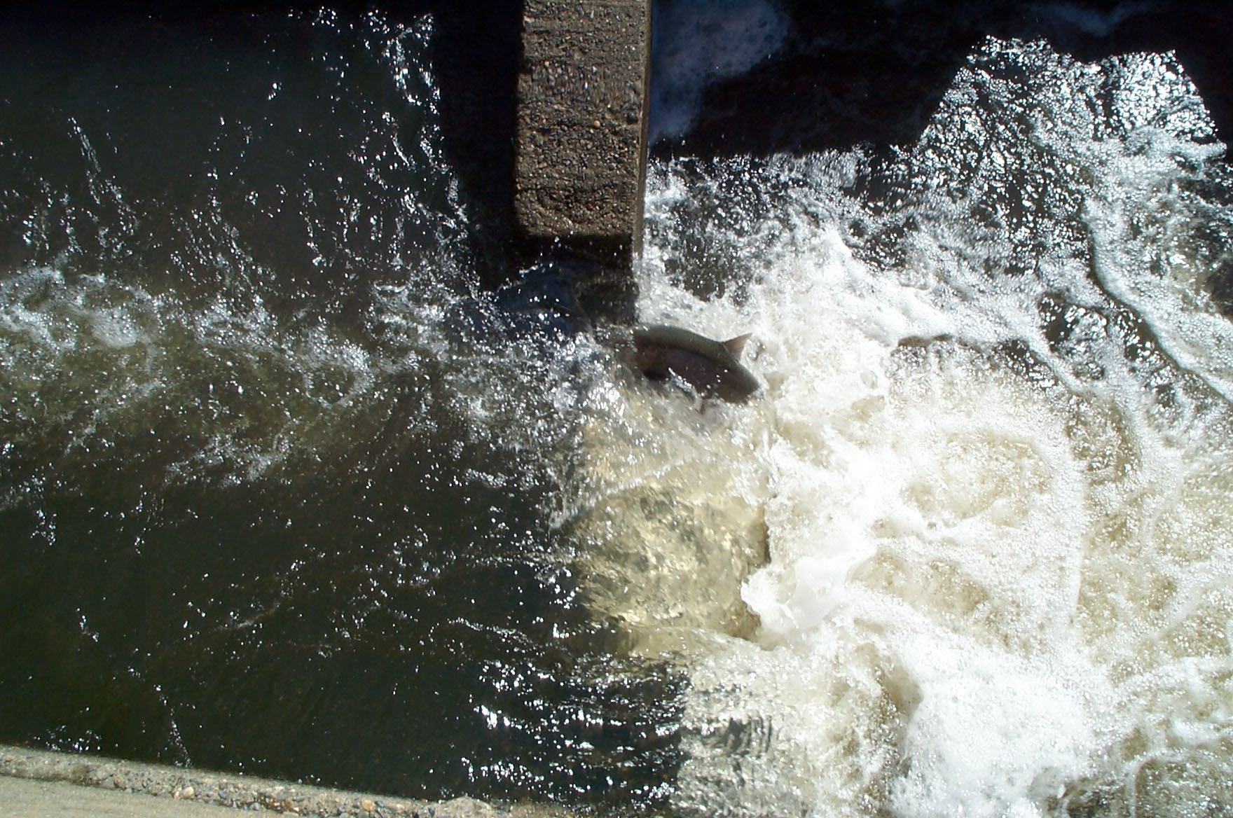
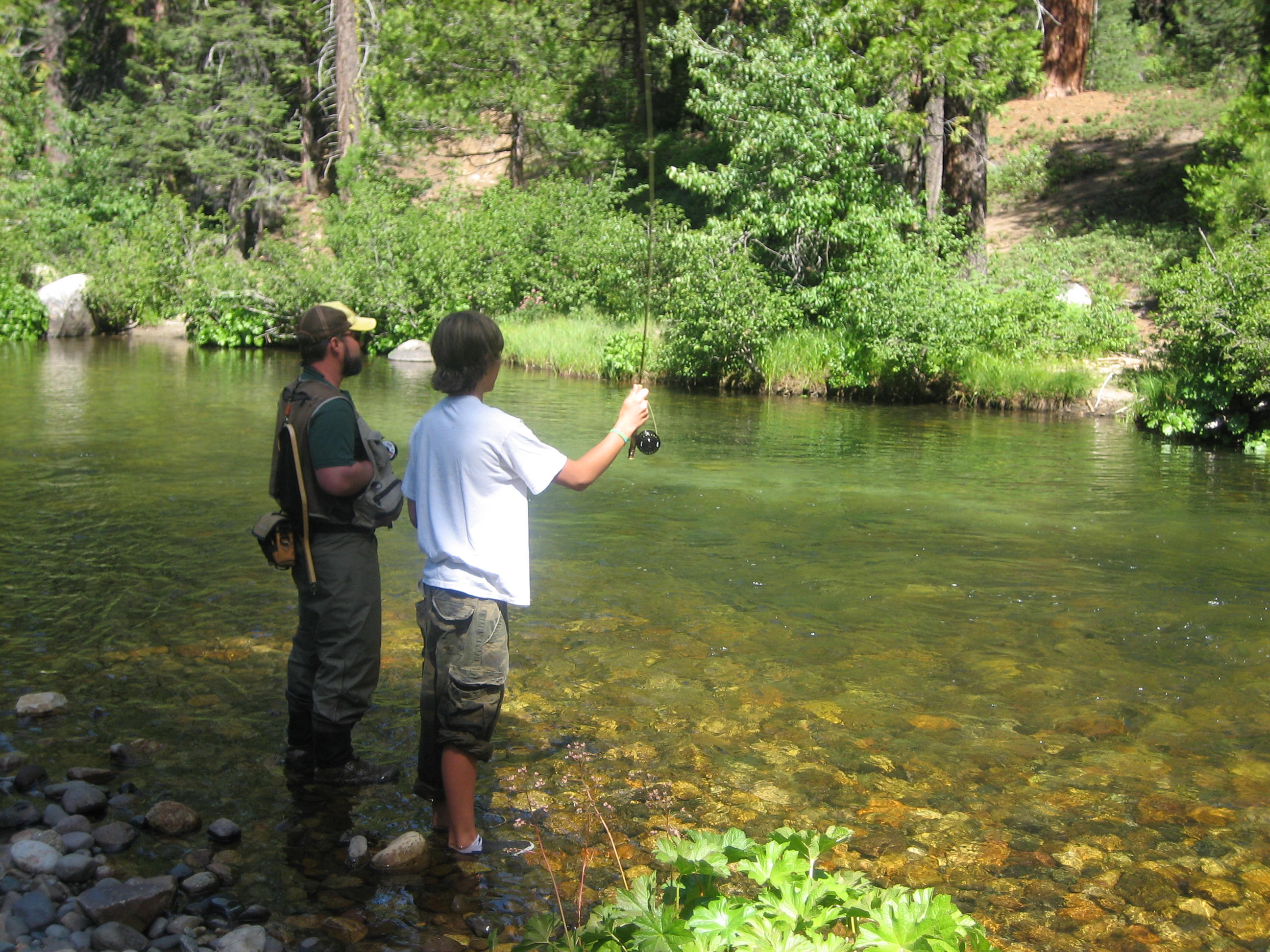
- Fly Fishing on the Silver Fork of the American River
-

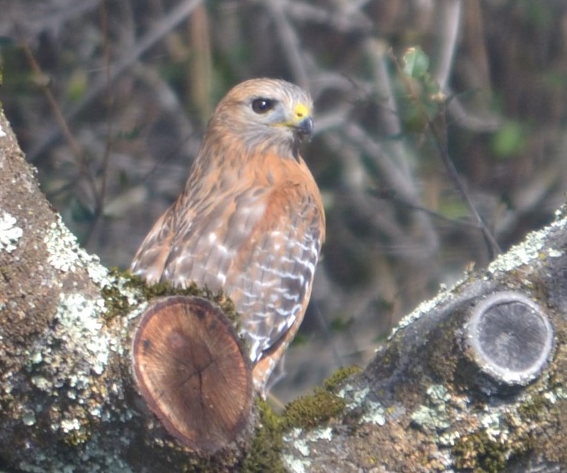
- Red Tail Hawk – Placerville

-
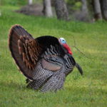
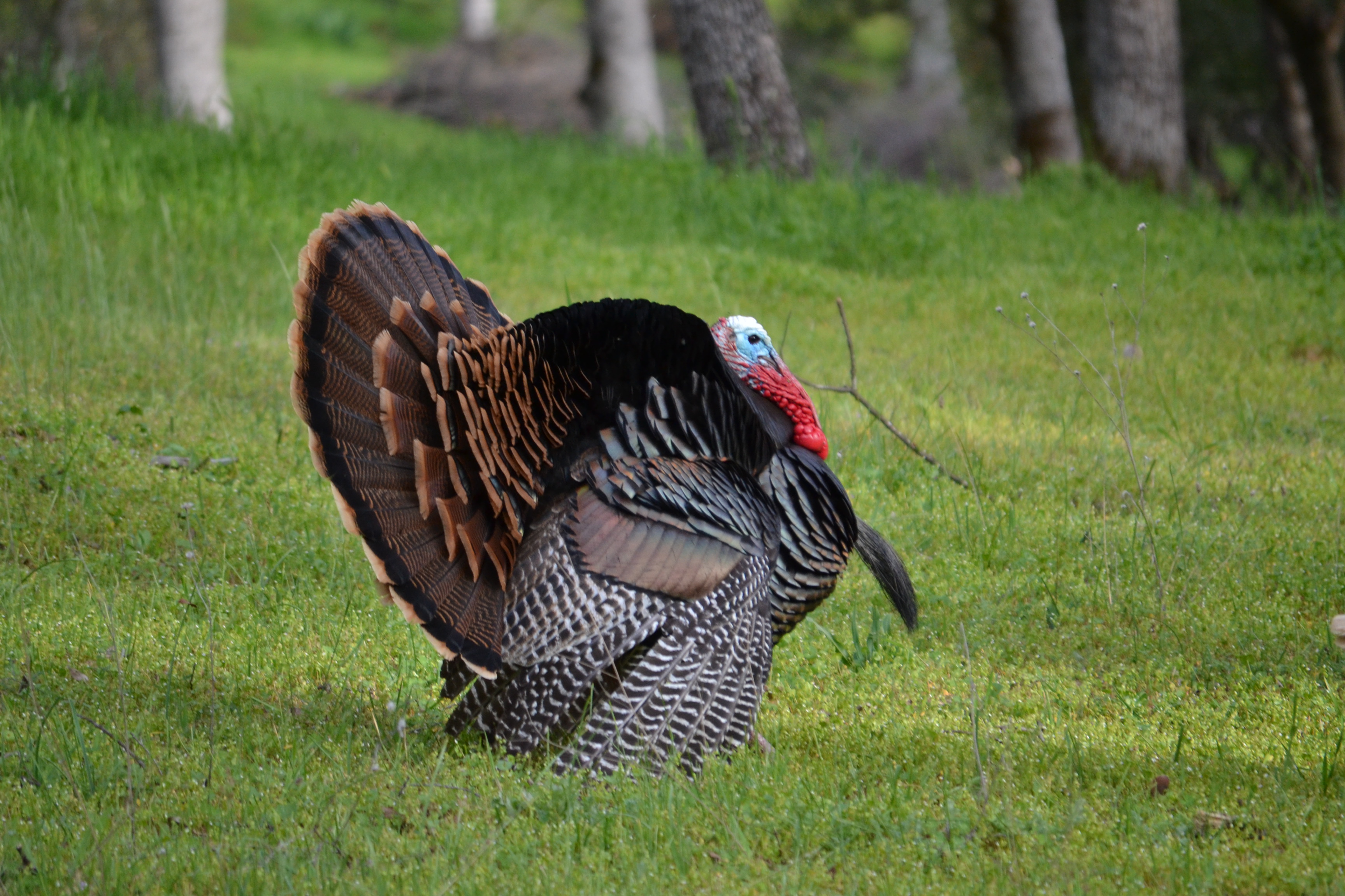
- Wild Turkey
-
- Surface water storage – Lower Bear River Reservoir

-
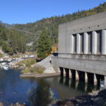
- Hydropower – Cresta Powerhouse – Butte County

-
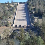
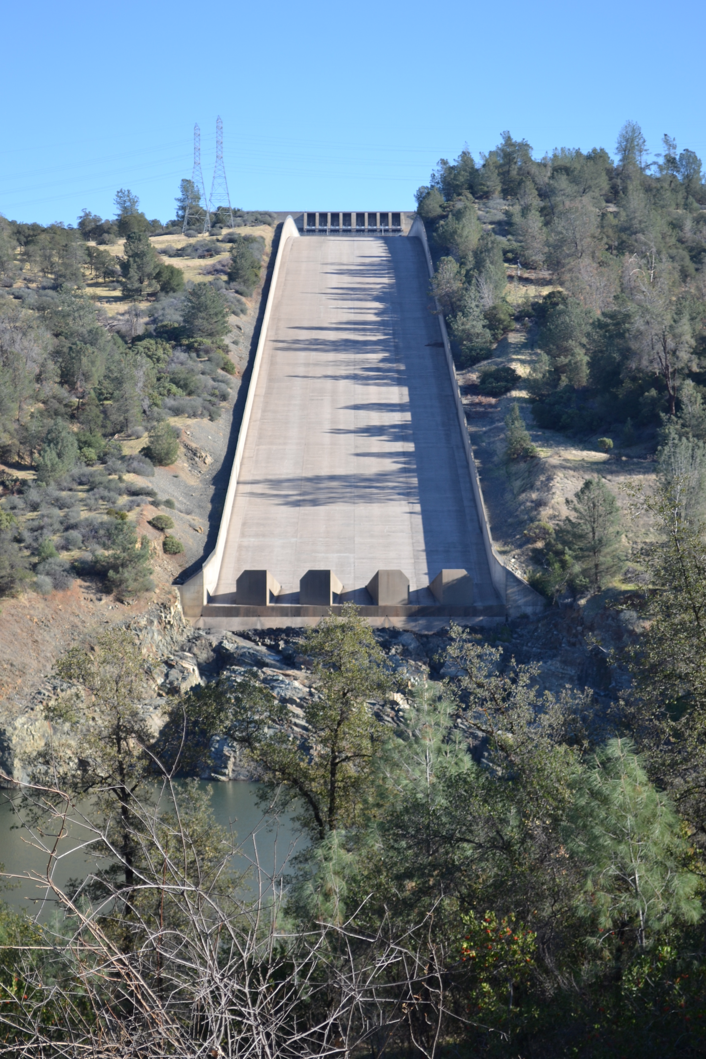
- Oroville Dam Spillway – 2014