Mountain Counties Water Resources Association tackles climate change
Mountain Counties Water Resources Association tackles climate change
By Roberta Long, MCWRA Writer
THE SITUATION
Members of the Mountain Counties Water Resources Association (MCWRA) in 15 counties on the western slope of the Sierra Nevada mountain range are increasingly concerned about their ability to satisfy the potential demand for escalating reliable flows of water to central and southern California.
Northern Sierra Nevada rivers and streams provide an estimated 60 percent of the water for the State of California. These waters are used for domestic consumption, irrigation, livestock, fire protection, commercial and industrial enterprises, wildlife habitat, flood control, hydroelectric energy and recreation.
There are two reasons for concern about the ability of the Mountain Counties to meet future water demand:
1) Increased statewide population demand. The California Department of Finance forecasts the state population will exceed 50 million by 2049. By 2060, the forecast is that there will be 15.4 million more people living in the state, a 39 percent increase over 2010. The largest increases will be in the inland counties of the Central Valley and southern California.
2) Increased environmental requirements in the Sacramento-San Joaquin Delta, particularly for ecological restoration and protection of endangered and threatened species. The State Water Resources Control Board sets flow requirements on the rivers. What flows the Board will require in the future will have an impact on upstream users.
The Delta is a 1,300-square mile inland estuary. It is home for 500,000 people. Agriculture, fishing and water recreation are the major economic activities.
The Sacramento-San Joaquin Delta Reform Act of 2009 requires creation of a legally enforceable comprehensive resources management plan for the Delta. The legislation created an independent state agency, the Delta Stewardship Council, to develop, adopt, and commence implementation of a Delta Plan. The plan is scheduled for adoption by the end of 2013.
Water is transferred from the northern California mountains through two large multi-facility water projects: The Central Valley Project (CVP) began in the 1930s and is managed by the U.S. Bureau of Reclamation. The State Water Project began construction in the 1950s and is managed by the Department of Water Resources (DWR). The water flows through the Delta starting in Sacramento and is routed into the Delta Mendota Canal and the California Aqueduct via the Tracy Pumping Station near Tracy and the Banks Pumping Station near Livermore.
In recent years, threatened and endangered fish populations such as salmon and smelt have declined. Water deliveries to the south were curtailed, and lawsuits ensued.
On March 22, the Department of Water Resources announced that due to a combination of restrictions to pumping to minimize harm to native fish and a drastically reduced snowpack in the mountains, water deliveries are estimated at 35 percent of the total requests this year.
The notice said that water content in the snowpack is 56 percent of normal.
On the same date, the U.S. Bureau of Reclamation announced that allocations to its agricultural water service contractors south of the Delta would be reduced from 25 to 20 percent of their contract supply. Municipal and industrial contractors’ supply would be reduced from 75 to 70 percent.
The Delta Plan has two co-equal goals of providing a more reliable water supply for California and protecting, restoring and enhancing the Delta ecosystem. It has a long-term horizon to the year 2100.
The Bay Delta Conservation Plan (BDCP) is underway with the California Natural Resources Agency as lead agency. Its purpose is environmental protection of the Delta. The 50-year plan is being designed to incorporate a combined Natural Community Conservation Plan and Habitat Conservation Plan. Included in the BDCP is a recommendation for two large tunnels to carry water from the northern Delta to the south. When the BDCP is approved by the California Department of Fish and Wildlife as consistent with the Delta Plan, it will be incorporated into the Delta Plan.
Although the Delta Plan focuses on the Sacramento-San Joaquin Delta, its reach now encompasses most of the state. The primary zone is roughly 1,100 square miles. The secondary zone originally described the areas surrounding the primary zone, where several cities are located. The Delta Plan was expanded when the secondary zone was enlarged to include almost all of California.
Despite the fact that the Delta Reform Act calls for improved regional supplies, conservation and water use efficiency to reduce reliance on water that flows through the Delta, the increased multiple demands for fresh water puts Mountain Counties members on alert.
The water conveyance systems in the Sierra Nevada date from mining operations that began with the Gold Rush. Hundreds of miles of ditches, canals and flumes carry water through isolated areas. Today, these systems are managed by water districts and agencies that are faced with upgrading and replacing their conveyance systems and meeting state standards for both treated water and wastewater. With smaller populations and no industrial bases to support the systems, they struggle to meet the demands for their customers and statewide requirements.
THE QUESTION
NASA defines climate change as changes in the long-term averages of daily weather. Long-term forecasts are that some areas in the world will experience drier periods and some will experience wetter periods than they have in the past.
Given that northern California has historically experienced wide variability in climatic conditions, with alternating periods of drought and flooding, and given that recent scientific technology has provided more data and information on weather patterns, what effects does this have on water management in the Sierra Nevada mountain counties, and what steps can and should be taken to best adapt to climate changes now and in the future?
THE DISCUSSION
On March 15, Mountain Counties Water Resources Association, in conjunction with the Association of California Water Agencies Region 3, met at The Ridge Golf Course and Event Center in Auburn to hear the latest on climate change.
Placer County
Jim Holmes, Chairman of the Board of Supervisors
The luncheon was hosted by the Placer County Water Agency. Jim Holmes, Chair of the Placer County Board of Supervisors, began the dialogue by describing Placer County’s perspective. On the western end of the county, at the rim of the Sacramento metropolitan area, an additional three-quarters of a million people are expected in the next 25-30 years. On the eastern side, near Truckee, at around 6,000 feet elevation, Placer County is preparing to install the Cabin Creek Biomass Energy Facility, which will use forest slash. Removing this debris from the forest floor reduces wildfire fuels and improves the watershed. “Water is the key to our future,” said Holmes.
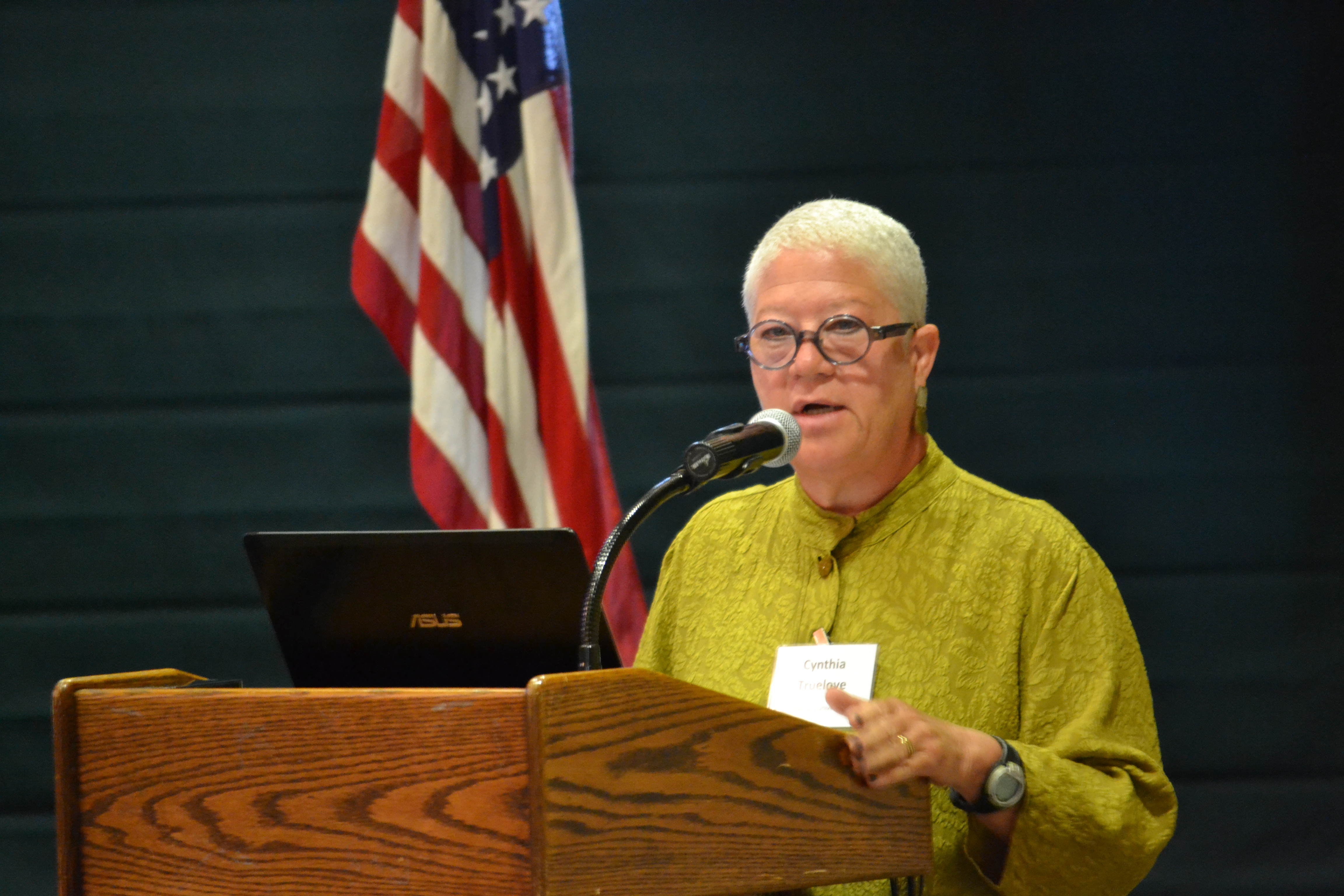
“Water-Energy Nexus”
Cynthia Truelove, Ph.D, Sociology of Comparative and International Development-“
Cynthia Truelove was the Senior Water Policy Analyst in the Policy and Planning Division of the California Public Utilities Commission (CPUC) from 2008 to 2012. In 2012 she joined Stanford University’s Water in the West program as director of the Water-Energy Research Initiative.
It takes electrical energy to pump water, whether it is pumping water out of the ground, pumping up to a water tank on a hill, or pumping water from the state and federal water projects to conveyance systems. Treating water to quality standards requires electrical energy.
Truelove said the connection between water and energy use came to the forefront the state experienced an electricity crisis in 2000-2001. Deregulation resulted in the inability of electric utilities to meet peak demand.
Current data from the California Energy Commission shows that s the water industry uses 19 percent of the state’s electricity.
Truelove said, “There is a bias. We don’t get that water agencies and districts are no different than fan factories.” Water is a natural resource, but when it is delivered to customers it is also a product.
How are we going to create a model that will encourage innovation in the water sector instead of limiting it or keeping the water sector in a constant quest to catch up for funding rising costs? she asked.
She mentioned one source of funding. The California Public Utilities District has funding dedicated to energy efficiency. It includes water use efficiency, increasing recycled water supplies, water systems efficiency, integrating local and regional water management, storm water reuse, and renewable development.
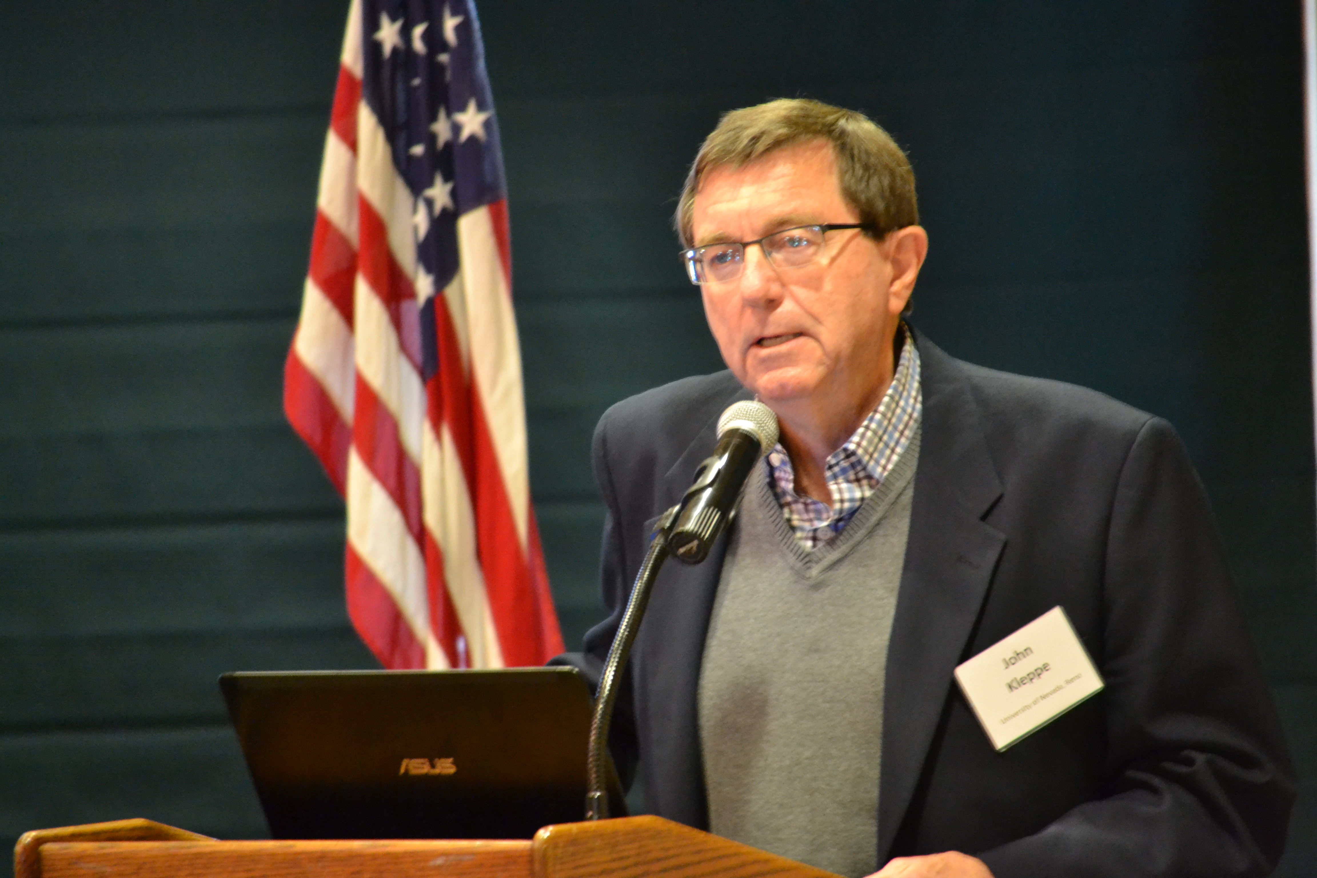
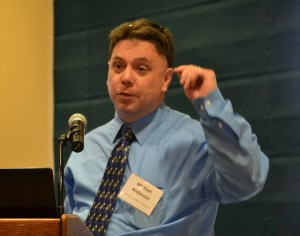
“Mega Drought, Will it happen again? Will we be ready?”
John Kleppe, Ph.D, Electrical Engineering
John Kleppe is Professor Emeritus at University of Nevada, Reno, where he was Chairman of the Electrical engineering Department.
Dr. Kleppe, whose home is on the shore of Fallen Leaf Lake, often takes his boat out to fish. Fallen Leaf Lake is one mile south of Lake Tahoe and 500 feet higher. It is almost three miles long and a mile wide. The average depth is 240 feet. The deepest part is 492 feet.
For many years, Kleppe’s line kept bumping into something and he was puzzled why. What he caught was not a rare species of fish, but something even more rare–a tree from a forest dating back to medieval times.
Although the clarity of the lake is high, he could not see anything underwater. As a scientist, this was a mystery he had to solve. He tried SONAR, but got no soundings. In the late 1990s, he hired a diver, who quickly surfaced with a branch in hand. Kleppe sent a sample to Lawrence Livermore National Laboratory for carbon dating.
The tree, a yellow pine, dated back to around 1215 A.D. It had mineralized, and was as perfectly preserved as a marble statue. It was waterlogged, so it absorbs SONAR.
Further investigation revealed a number of trees nearly 100 feet tall and 15 feet in diameter, indicating they were over 200 years old when they died. This signifies that a “mega drought” occurred during the medieval period around 850 to 1150 A.D. The dry period was followed by an extremely wet period. There are signs that another lengthy drought occurred later.
Three older trees were discovered, suggesting that severe droughts happened farther back in time.
These longer cycles are different that the shorter fluctuations that have been recorded in the last 150 years.
Graham Kent, University of Reno Seismology Lab director, used a remotely operated underwater vehicle to create high-definition fault mapping of the bottom of Fallen Leaf Lake. His team traced the west Tahoe fault line. It is a 7.3 capable normal fault. Kleppe said Kent believes it may be ripe for action.
Kleppe said there is “a disconnect between science and society. We need to separate funny science from real science. We need to start saving water.”
“Climate Change–Is the time to act now? What is the risk of doing nothing?”
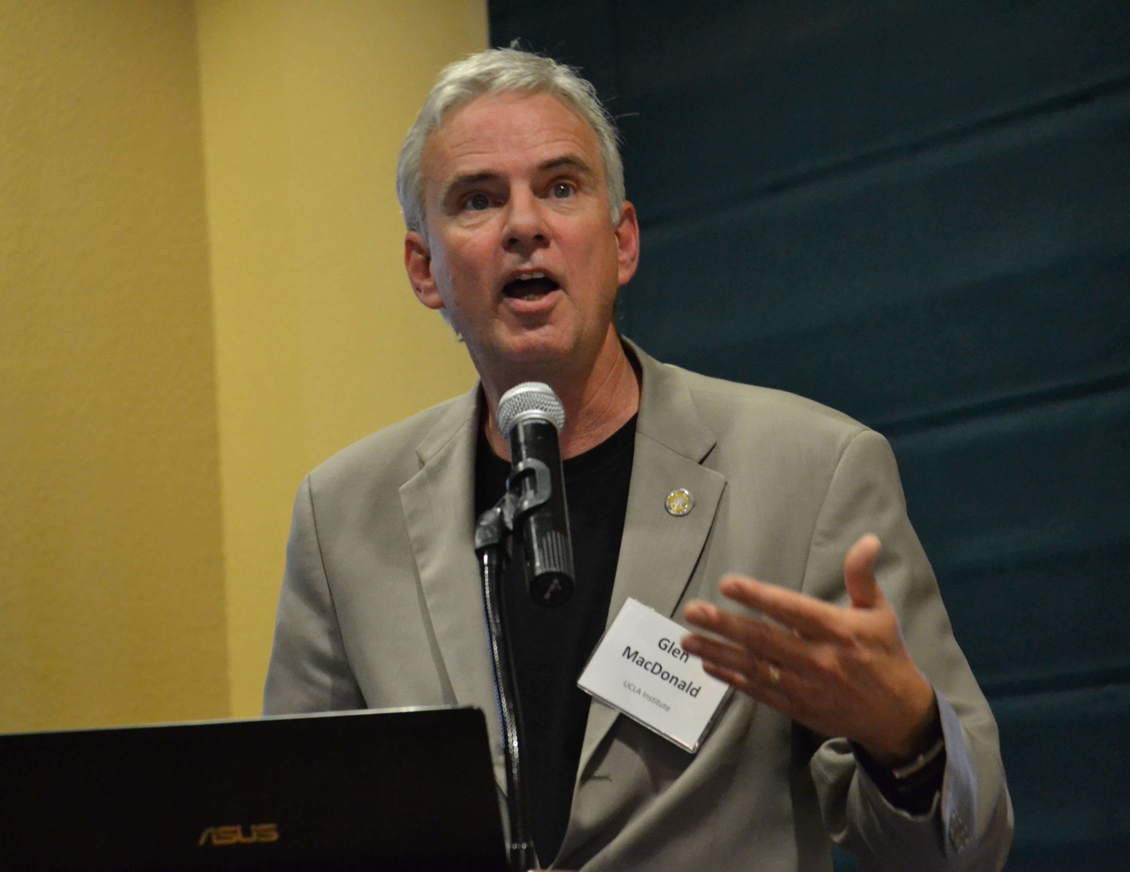
Glen MacDonald, Ph.D, Botany
Michael Dettinger, Ph.D, Atmospheric Sciences
Michael Anderson, Ph.D, Civil and Environmental Engineering
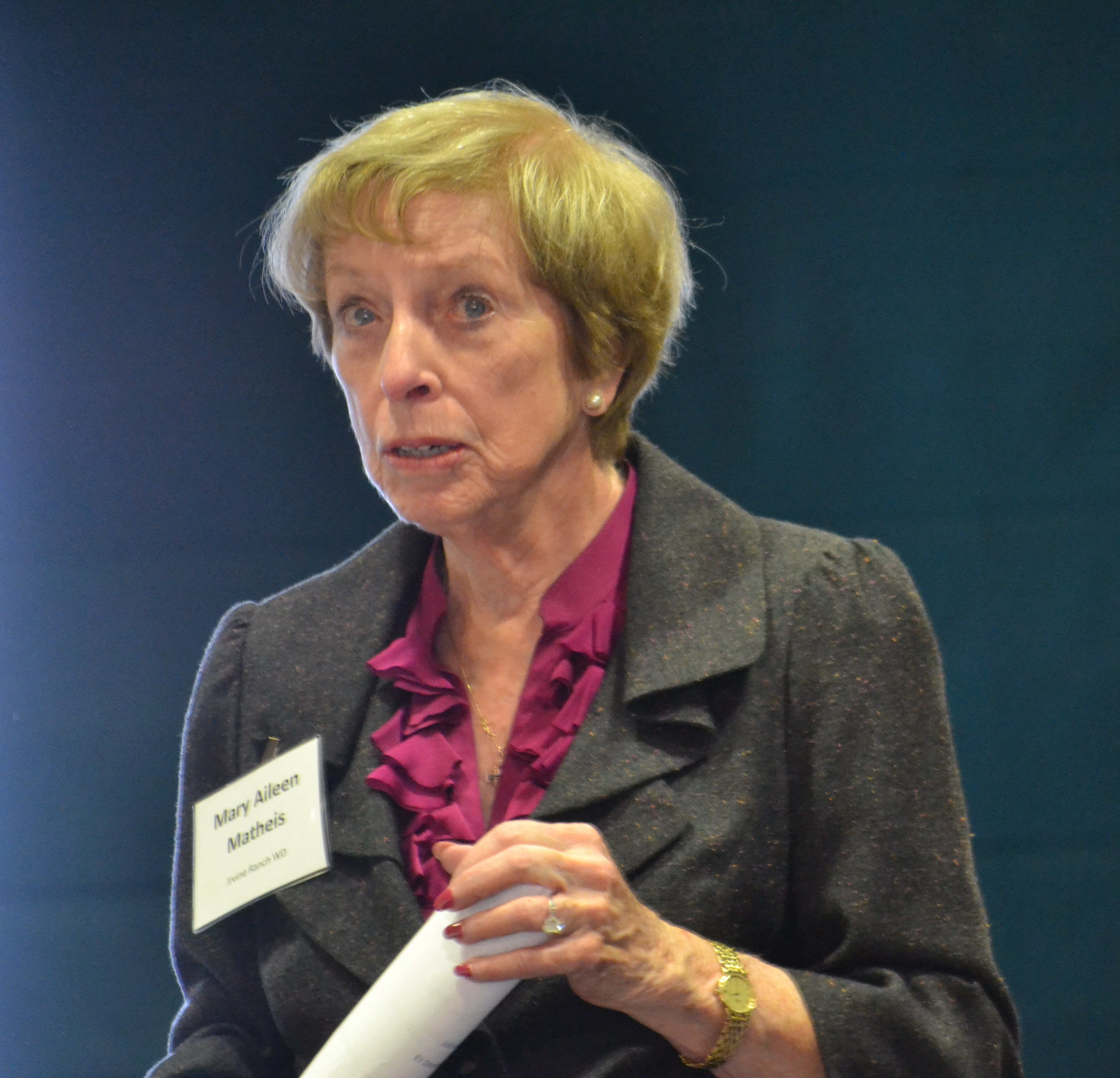
Moderator: Mary Aileen Matheis, Director, Irvine Ranch Water District
Glen MacDonald has studied drought conditions all over the world. He lived in Tahoe City, and is familiar with Sierra Nevada conditions. As Director of the UCLA Institute of the Environment and Sustainability, he echoes the results of scientific investigations at Fall Leaf Lake.
MacDonald’s research using tree rings indicate that local dry spells can go on for more than a decade. In the 12th century, California experienced sustained low flows in the Colorado and Sacramento rivers and low rainfall for a period of 40 to 60 years. At the same time, there was a drop in volcanic activity and a spike in solar radiance, leading to natural climate warming. It affected forests and fires. We have similar conditions today, he said.
The Palmer Severity Index measures soil moisture. The map shows that as of March, the western United States, with the exception of the Pacific Northwest, and a portion of Colorado, are in various states of drought. Northern and Central California are designated moderate drought zones, southern California as severe drought, and the northeastern area as extreme drought.
MacDonald said many people believe we can cope with climate change through technology, but the past can tell us a lot about what kinds of general strategies allowed societies to survive over time. Some previous civilizations successfully managed their resources for many centuries and some did not. We may be in for a long-term drought, and there are lessons we can learn.
Michael Dettinger provided a preview of the next Climate Change Assessment Report, No. 5, which is being done by the Intergovernmental Panel on Climate Change and will be made final in 2014. As research hydrologist for the U.S. Geological Survey National Research Program and research associate at Scripps Institution of Oceanography, Dettinger participated in the research.
The three major conclusions of their research are: 1) Projected warming trends in California will be moderated somewhat by coastal and mid-latitude locations. 2) Precipitation extremes are expected to increase. Flood risks caused by “atmospheric river” storms may increase. Drought risks will increase. Reporting on flood research, Dettinger said that flows of vapor (atmospheric rivers) have unleashed massive floods every 200 years. Climate change could bring more. The last major flood occurred in 1861-62 when it rained for 43 days, turning the Central Valley into an inland sea.
3) Southern California and much of the Colorado basin are the focus of predominantly declining precipitation projections. Projections for northern California are more uncertain.
Projected higher temperatures and less precipitation in the Sierra Nevada forecasts snow seasons are will gradually shorten from six to three months toward the end of the century.
Michael Anderson, California’s State Climatologist at the Department of Water Resources, followed by saying the peak of the snow load in the Sierra Nevada may not be April 1, when last measurements of the season are taken each year, but may be in March in the coming years.
The Department of Water Resources reported record dry months during January and February in northern California.
Anderson said the most extreme California storms result from a rare alignment of key processes. He cited the storm of Jan. 4-6, 2008, when severe high winds, heavy rains and significant snowfall wreaked havoc in the western United States from the Pacific Coast to Montana and Colorado. Weather records were set throughout the region. On Jan. 4, Bishop had four inches of rain, the highest daily total on record. Bishop has an average annual total rainfall of 5.02 inches.
Anderson emphasized that California has extreme geographical diversity, from coastal to mountains, valleys and deserts. Climate change will affect them to different extents.
He referred to two studies. One is “Climate Change and Integrated Regional Water Management in California: A Preliminary Assessment of Regional Approaches.” One of the authors is DWR North Central Region Climate Change Specialist Erin Chappell. The study calls for routine regional vulnerability assessments and integrated regional adaptive water management.
The second study is “The HMT-West Legacy Project (2008-2013): Current Status and Future Plans.” Michael Dettinger is one of the authors. HMT stands for hydrometeorology. The report describes the latest scientific work relating to climate change, including soil moisture sensors, GPS receivers of snow-level radars and atmospheric river observatories. The project is providing the building blocks to support decisions by water managers and reservoir managers. It is also designed to benefit state and local emergency managers, farmers, fire responders, California Department of Transportation, and the public for both recreation and public safety.
MCWRA MEMBER COMMENT
This program was partially underwritten by West Yost Associates, Consulting Engineers, in Davis. Following the program Steven Dalrymple, principal in the firm, made this comment:
“What’s important to all of us now in California is the billions of dollars invested in water supply infrastructure to build and supply the ninth largest economy in the world. It served us well based on assumptions that basic hydrology would repeat. Recently we see that the climate is changing year to year and is highly variable.
We need now to adapt the use of what we have built and be ready to invest in new infrastructure to continue to provide much needed water supply for this and future generations.
SUMMARY
MCWRA Executive Director John Kingsbury reflected on the panel’s presentation, and observed, “Water is vital to the environment, economy and our way of life in this state. Ongoing adaptive water management is critical to counter climate change effects in the Sierra Nevada, the state’s largest natural winter reservoir. The experts provide us with the best available science. It is our job to analyze the data, determine the risk, and act responsibly if we are to provide a lasting legacy for future generations that ensures a vibrant economy and healthy quality of life inseparable from this special landscape.”
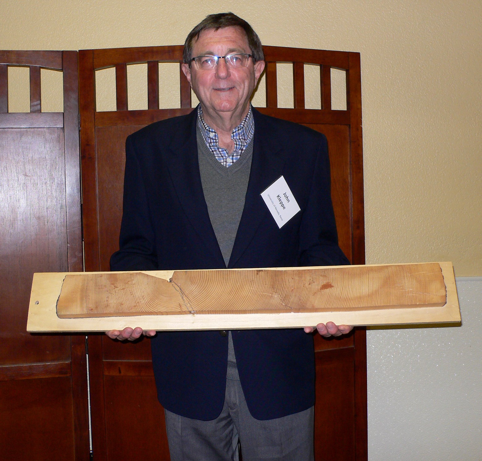
Dr. John Kleppe holding a piece of 800-year-old yellow pine from a forest that was preserved under Fallen Leaf Lake.
Photo by: Roberta Long
Cynthia Truelove, Ph.D.
John Kleppe, Ph.D.
Michael Dettinger, Ph.D.
Glen MacDonald, Ph.D.
Mary Aileen Matheis
Michael Anderson, Ph.D.
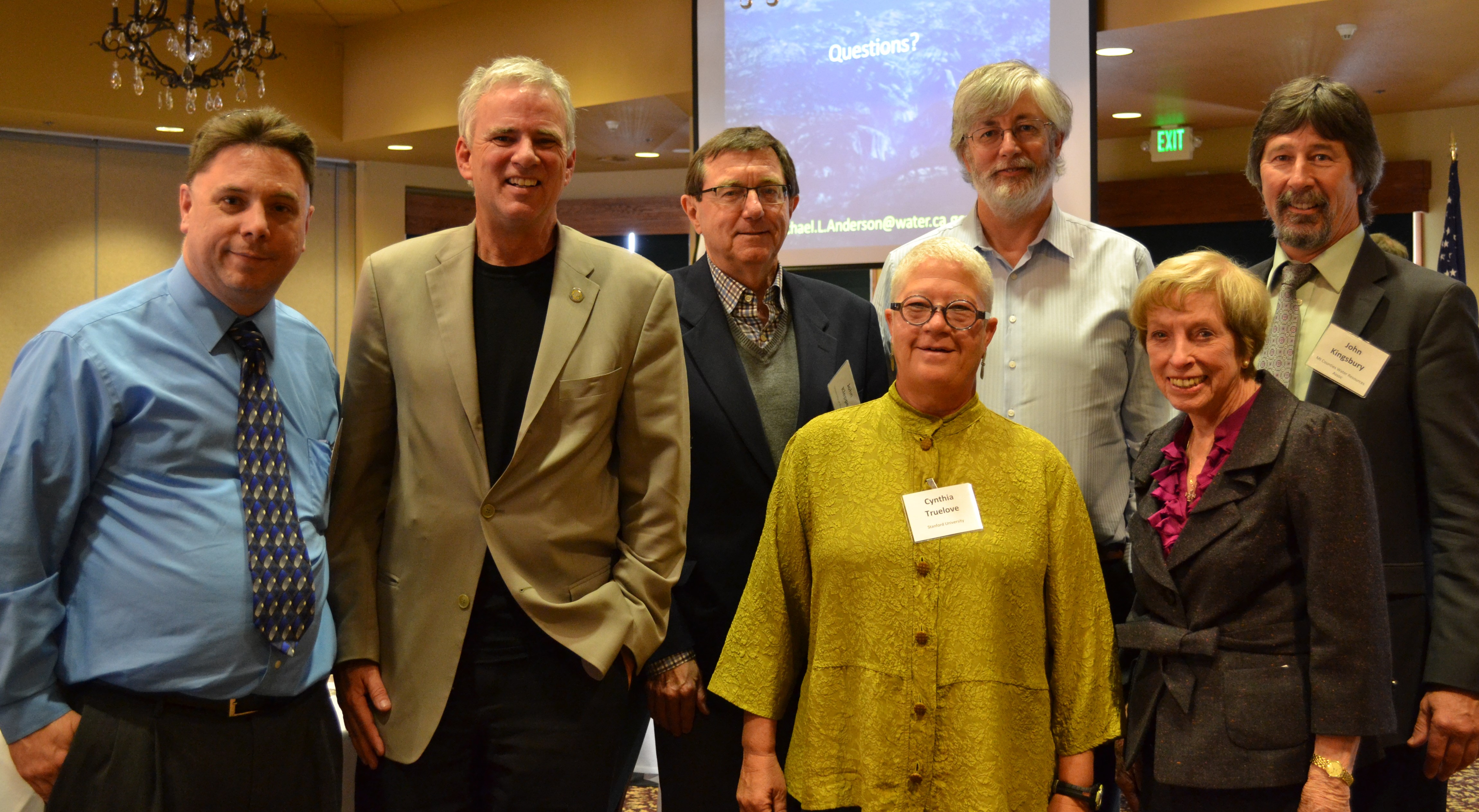
Left to Right
Michael Anderson, Glen MacDonald, John Kleppe, Cynthia Truelove, Michael Dettinger,
Mary Aileen Matheis, Board Member, Irvine Ranch Water District, John Kingsbury, Executive Director, MCWRA
Photos by: Ginny Borkowski, MCWRA