Don’t Sacrifice the Watershed

July 26, 2018

By: John Kingsbury, Executive Director, Mountain Counties Water Resources Association

The State Water Resources Control Board (SWRCB) Bay-Delta Water Quality Release would mandate a minimum of 40% of “unimpaired flow” along the Stanislaus, Tuolumne and Merced Rivers each year from February 1 to June 30 for fish.  Look for the same percentage or more on the Sacramento system and tributaries. “Unimpaired flow” is a hydrology term for natural runoff of a watershed or waterbody that would have occurred prior to anthropogenic or human influences on the watershed.  This proposed application is fantasy, as not only do we have a highly altered watershed with dams and diversions, we have a highly altered Delta waterway that includes dozens of islands and over one-thousand miles of levees and diversions that will never return to pre-anthropogenic or human influenced conditions.

That said, a critical element missing from this “flow” discussion is the science developed by the Delta Independent Science Board (Delta ISB), created by the Delta Stewardship Council, a State agency established by the 2009 Delta Reform Act.

In August 2015, the Delta ISB reported that “flow is but one factor affecting fishes and its effects are confounded by other drivers of fish production in the ecosystem.” The report went on to say that “five major drivers are considered as agents of change in any given ecosystem. These are habitat alteration and loss, resource use and exploitation, invasive species, pollution, and climate.  All these drivers have played a role in the Delta and affected fishes.”  The report reads, “it is almost impossible to assess how flows affected fishes historically in the Delta because the ecosystem has undergone, and is still experiencing, dramatic alterations in habitat, species composition and interactions, channel morphology, and water quality.”

Rightly so, there is much interest to save and enhance the life cycles of endangered species in the Delta.  However, the proposed plan would strip the mountain counties region of its water resources. The Plan is flawed and should be retracted. There has been little or no regard for the impacts to the Sierra ecosystem and endangered aquatic plant and animal species, including endemic and migrating species already stressed by extensive forest fires and drought above foothill dams.  If the Delta is to thrive, we cannot sacrifice its watershed, plain and simple.  Until the “drivers” in the Delta have been fixed to provide food and cover for endangered fish, and until upstream water quality issues resolved, more flow must be deemed a waste and an unreasonable use of water, particularly when the science says, “flow is but one factor affecting fishes.”

Not understood by many of those who do not live or work in the foothills and headwaters of California, this draconian decision will penalize disadvantaged rural communities in the mountain counties, increase fire-prone vegetation, exacerbate tree mortality and the risk of catastrophic fire in the Wildland Urban Interface (WUI), degrade air quality, and increase ground temperatures.  As presently constituted, this Framework will harm the residents, wildlife, aquatic plants and fish species, endangered species, and the overall health of the Sierra Nevada environment.  A wrong decision that results in curtailing rural water usage, which is inextricably integrated within the natural environment, is a failure to understand the value of this water being kept in circulation, its role in decreasing the risk of catastrophic fire, and the potential long-term costs to the state for impairing its water sources.

The State can ill-afford to sacrifice the watershed if it plans to have a sustainable Delta!

California water policy should rely on California science

July 25, 2018

State Water Board’s Delta Plan Is No Fix for Fish and Hurts Farms

The board has failed to listen to the concerns of cities, farms, school districts and other experts when it comes to its Bay-Delta Water Quality plan that would reduce flows in critical California rivers, says Mike Wade of the California Farm Water Coalition.

Click link for the article from Water Deeply:  https://www.newsdeeply.com/water/community/2018/07/20/state-water-boards-delta-plan-is-no-fix-for-fish-and-hurts-farms?utm_source=Water+Deeply&utm_campaign=31208577f5-EMAIL_CAMPAIGN_2018_07_20_09_05&utm_medium=email&utm_term=0_2947becb78-31208577f5-117599545


The Water Grab, my opinion

July 24, 2018

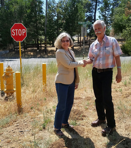
Opinion by: Dennis Mills, Supervisor Calaveras County

“This is a water grab, pure and simple”. The question is, what do the salmon have to do with this? It’s the red herring that is being used to support the need to a change in direction on the operations of the California Water Project. We need to look past the fish to the reasons for why the flows are being manipulated and why the state feels a need for reoperation of the project.

As the state continues to struggle with what many see as a water grab intended for fish flows in the Delta, allow me to explain a perspective that has been missed in this overall discussion. Having been on a recent tour of facilities in Orange County including those of the Metropolitan Water District (MET), and had direct conversations with agency managers and elected officials including those of MET, I can assure you water agencies in the south have a much tougher road in maintaining adequacy of safe water, than is discussed.

The best example is the treatment of waste water (sewage) into safe drinking water using reverse osmosis and pumping that water back into their basins for future use (Orange County Reclamation District). In that zone, over 85% of all sewage is treated and reused. Would you drink treated waste water? In Orange County, they do every day. The effort to keep salt water intrusion from affecting underground storage basins is immense in scope as they use high pressure injection wells along the coast to keep the salt water at bay by pumping treated wastewater into the zone as a buffer. Wastewater reclamation and the expense of treating it to safe standards is not cheap but it is a solution that Southern California feels is critical to the long-term stability of their water supplies.

For those in the north, we have a hard time accepting the cost per acre foot that is currently being expended in the south (many local agencies in our area charge under $10 per acre foot). Example, MET water delivered to their member agencies is roughly $700 per acre foot. Treated waste water is double that and the desalination plant at Carlsbad is priced at $2100 per acre foot. Southern California water agencies know they need reliability and dependability, no matter what the cost. There are no good ground water basins (due to geology) in the San Diego area. The Los Angeles area has five established basins to store water and they work tirelessly to store as much as possible to insulate themselves from droughts. Those basins have a combined storage capacity of less than New Melones while serving 19 million people in six counties. The result is their dependency on the CWP and Colorado River water is critical to stability of the region.

Colorado River water is different from California Water Project water. Colorado water is high in minerals and low in organics while Water Project water is high in organics and low in minerals. This creates treatment challenges as MET moves from one water source to another or blend water in their system. The Diemer facility alone can treat over 500 million gallons per day. Just to put this in perspective, that is 1,500-acre feet of water treated in one facility, daily.

In my discussions with MET, the Colorado River system is in depletion and being over-allocated, the fight for every drop is a continuing legal challenge. As the drought years linger in California, they also linger in the Rockies as well, leaving less water available for not only for use in California but Las Vegas, Lake Powell, Lake Mead, Arizona and others. Add to that, the reduced water storage and availability during the drought years on the California Water Project (CWP). MET primarily holds water rights at Oroville Dam and the Feather River. Everyone knows the problems at Oroville but there is a larger issue here. It is called pumping more than the system can deliver.

Anyone interested in the CWP system should spend time doing the research which we will not go into here. However, when the CWP system was designed, the intake to the aqueducts was placed at the Clifton Court Forebay near Tracy. Why this is important to the discussion will be understood as we progress. At this location eleven pumps pull over 10,000 cubic feet per second from Delta flows, when they are operating. This is equivalent to draining Lake Hogan in 15 days or Lake Tulloch in 3 days. The location is critical as there is so much water pulled so quickly at the bottom end of the Delta that it reverses flows leaving the Delta and pulls brackish water (where the delta smelt live) towards the south edge of the Delta. To make up for this current need to pump more water, the state is left with no option but to find additional water in the bottom of the Delta, to add into the zone to offset the pulling effect of these massive pumps.

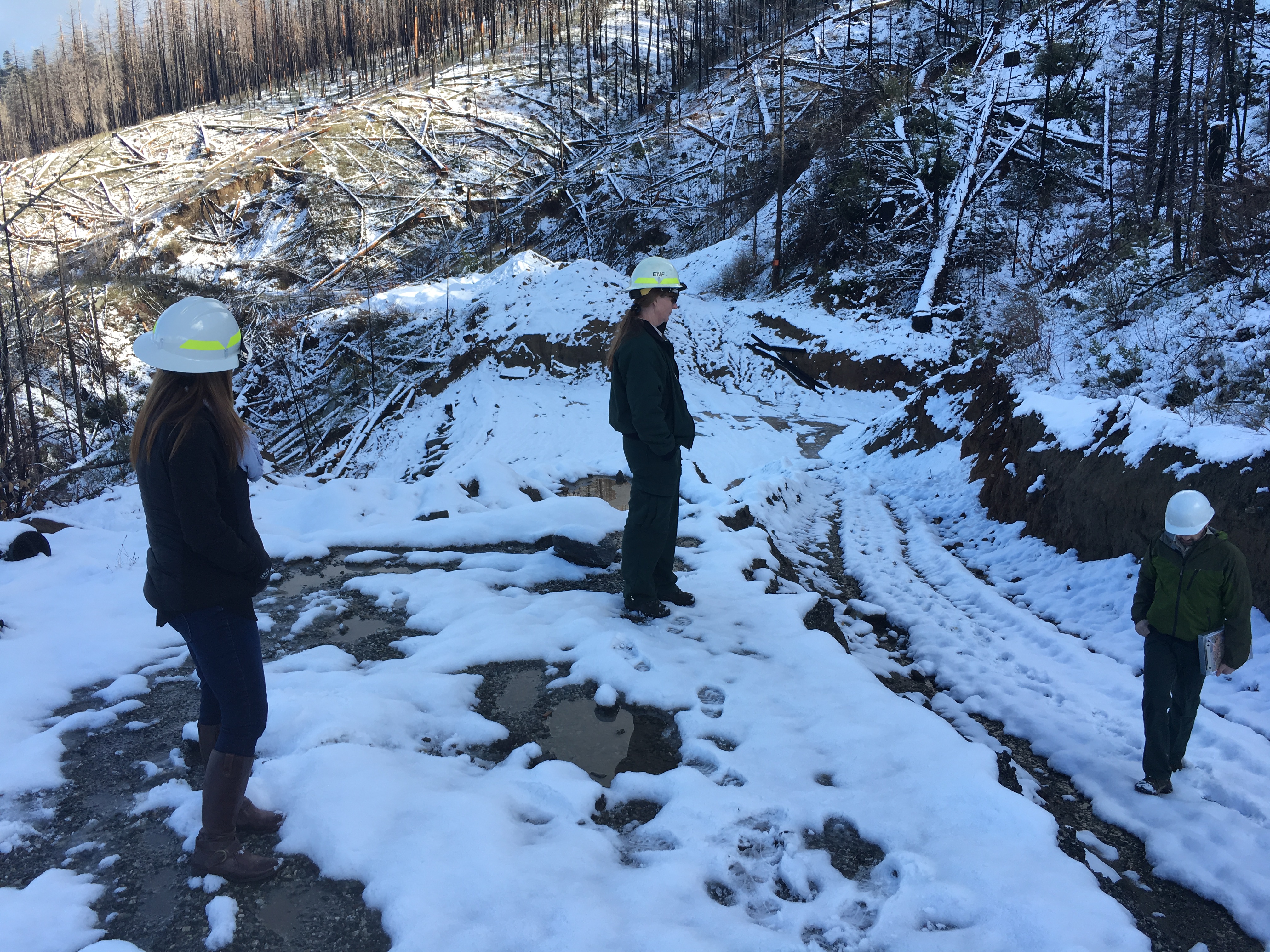
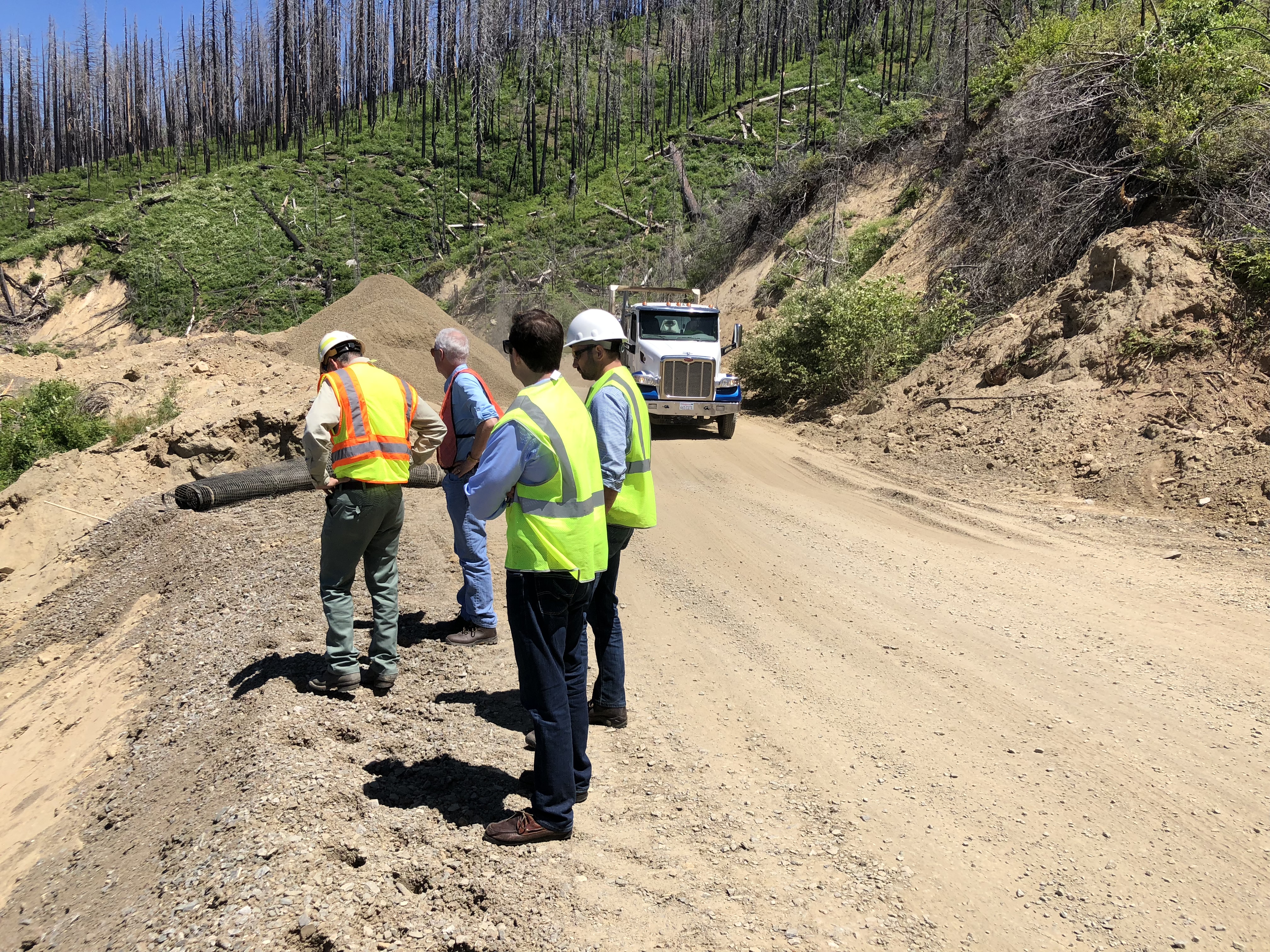
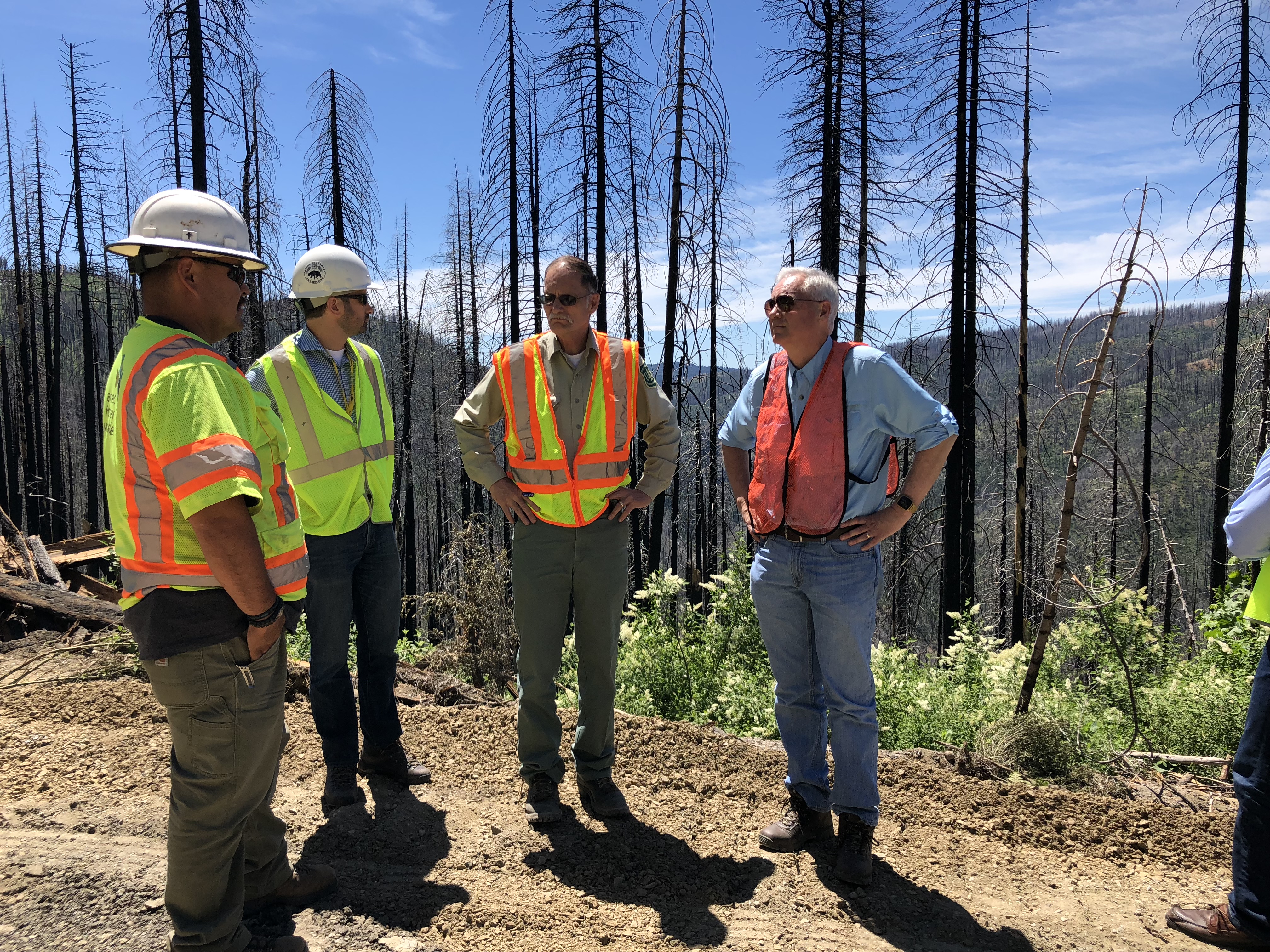
Where is the only water going to come from? The Tuolumne, Stanislaus, Merced, and San Joaquin Rivers. Much of the CWP decision is based on allocation and use, with the Stanislaus having the most water stored at any given time and the fewest water rights holders to deal with, coupled with the water being the cleanest in the state. And there you have the reasons why the Stanislaus River has become the solution to a larger problem. The problem of how to prevent the CWP pumps from reversing flows and pulling salt water into the zone can only be addressed by adding more fresh water into the area. This is the water grab being spoken of and the CWP is using the issue of fish to support their argument for the need to help keep the Delta salt free and their pumps from taking in brackish water (and fish).

But there is another water rights holder that is not being discussed in the state decisions. The Federal Central Valley Project made up of Shasta, Folsom, New Melones, San Luis, Friant and other dams with a combined storage capacity of over 13 million-acre feet under contract to both municipal and agricultural users was created during the Depression to provide jobs to the agricultural region of the Central Valley. Again, if interested, review the history of this project created out of the Great Depression to put people to work in California. Keep in mind the Federal government has obligations to its users as well.

Under the guise of protecting fish as the sole indicator of the health of rivers, the state has taken control of the Federal water for their purposes which ultimately is the way to offset the reverse flows and damaging effects created by the CWP pumps located at the south edge of the Delta near Tracy.

It must be understood that Antioch and Pittsburg have also been directly affected by salt water intrusion as they are the first to feel the effects in their water supplies at the top of the Delta. Many industries that use fresh water have relocated away from those cities to find more stable fresh water sources. This discussion cannot be complete without understanding the need to keep fresh water flowing to those communities just as we are pumping it to Southern California.

The recent purchases of tracts of land in the Delta by MET was to gain the easements across those lands to bring the pumping intakes from the Clifton Court Forebay to a new location on the Sacramento River near the Consumnes River. It was not to take advantage of any riparian water rights or uses on those parcels as that water would be beyond their pumping intakes. I have been in the presentations by both Met and East Bay MUD on this issue. Both say the same thing, relocating the intakes to the direct source of MET water off the Sacramento River, thereby bypassing the pulling effects of the current pumping of water through the Delta and gaining a cleaner direct location to pump from, is the solution in their eyes. This would allow the rivers flowing into the south Delta to flow directly to the Bay and stop the reverse flows that are affecting not only the Delta, but the municipalities that take their water from the Delta.

But, the reality is moving the intakes to another place within the Delta ecosystem only moves the problem to a different location which could ultimately pull north Delta water into a reverse course affecting any municipality and agricultural user in the upper end of the Delta. Is that the best answer? I think not.

Placer County Water Agency News

July 23, 2018

2018 MIDDLE FORK PROJECT HYDROPOWER GENERATION IN LINE WITH EXPECTATIONS

Contact:
Einar Maisch, General Manager
(530) 823-4860
or: Ross Branch, Public Affairs Manager
(530) 823-1937
FOR IMMEDIATE RELEASE

AUBURN, Calif. (July 20, 2018) — At the July 19 meeting of the Placer County Water Agency
(PCWA) Board of Directors, the Board received a mid-year update on Middle Fork Project (MFP)
hydropower generation in 2018. The forecast for year-end generation is just over 1,000,000
megawatt hours (MWhrs), which is in line with projections from October 2017.

Click link for more:07-20-2018_2018_Middle_Fork_Project_Hydropower_Generation_In_Line_with_Expectations

Yuba County Water Agency rebrands itself

July 21, 2018

Yuba County Water Agency announced recently that it is rebranding as Yuba Water Agency, to provide a simple, easy-to-identify moniker and logo, as the nearly 60-year-old organization seeks to develop a stronger relationship with the people of Yuba County.

The agency was established in 1959 to reduce flood risk and provide a sustainable water supply to the people of Yuba County. In spite of significant investment in the community, the agency is largely unknown by the people it serves.

“For the last 50-plus years, we have flown under the radar, largely unnoticed by the public,” said Board Chairman Brent Hastey. “We are in a position to make an even bigger impact in the lives of the people of Yuba County at a much faster pace, and want to do a better job of educating people about who we are and what we do.”

Read More

State Water Regulators’ Plans To Impact New Melones

July 19, 2018

MML - Angels Camp, CA

Sonora, CA –- The future of New Melones as a storage reservoir or recreation destination may well be in jeopardy, according to regional water officials.

This news comes as the California State Water Resources Control Board (SWRCB) attempts to finalize what many stakeholders consider recently released draconian plans that call for 30 to 60 percent unimpaired flows from February through June through the Lower San Joaquin River and its tributaries —- the Stanislaus, Tuolumne and Merced rivers.

Read more

Amador Water Agency receives $4.9 million state grant

July 18, 2018

Amador Water Agency (AWA) water main improvements in Pioneer to continue with 4.9 million state grant


For immediate release: 7/17/17

Contact:  Gene Mancebo, General Manager, Amador Water Agency, 209-223-3018

 PHOTO CAPTION:

AWA Director Rich Farrington thanks Chair of the Amador County Board of Supervisors,  Lynn Morgan, for supporting a $4.9 million state Community Development Block Grant to replace an old water main on Buckhorn Ridge Road near Pioneer Park. Director Farrington said, “This project will improve fire protection and correct bottlenecks in the water main. AWA greatly appreciates the county supervisors’ support for this important project.” Supervisor Morgan said, “The County of Amador is pleased to support this project on behalf of AWA.”

Amador County Supervisors partnered with AWA in receiving the grant to continue upgrades to water mains in the area that began last year, improving water pressure for homes, correcting a health hazard, and increasing water supply for fire fighting.  Construction on this second phase is planned for next spring.


News from Foresthill Public Utility District

July 17, 2018

On July 5, 2018, Foresthill Public Utility District (FPUD) filed with the State Water Resources Control Board, Division of Water Rights a petition for temporary change to water right Permit 15375 (Application 21945), requesting to transfer water pursuant to California Water Code section 1725 et seq.  With the petition, FPUD seeks authorization to temporarily transfer up to 2,000 acre-feet of water previously collected to storage in Sugar Pine Reservoir to Kern County Water Agency and Dudley Ridge Water District.

To view the project information, please visit the Division of Water Rights website:

http://www.waterboards.ca.gov/waterrights/water_issues/programs/applications/transfers_tu_notices/index.shtml

State Water Board Seeks Public Comment on Final Draft Bay-Delta Plan Update for the Lower San Joaquin River and Southern Delta

July 11, 2018

The State Water Resources Control Board (SWRCB) released the draft final documents for the Bay Delta Plan update for the Lower San Joaquin River and southern Delta, as well as a framework document for Sacramento River and Delta.  The SWRCB is now seeking public comment on the Final Draft Plan.

“The draft final Lower San Joaquin River/Southern Delta update includes improved instream
flows February through June, which are the critical months for protecting migrating fish on the
Stanislaus, Tuolumne and Merced rivers. These flows are measured as a percentage of
“unimpaired flow,” the amount of water that would come down the river if there were no dams
or other diversions….”

“A 40 percent of unimpaired flow requirement, within a range of 30 to 50 percent, is proposed
as an appropriate balance for this plan update because it can improve conditions for fish and
wildlife considerably without more challenging impacts on other water users….”

The SWRCB is accepting written comments on those changes until 12 p.m. (noon) on Friday, July 27, 2018.

Click here for SWRCB Media Release

Congressman Tom McClintock Tours Eleven Pines Road – “AFTER THE FIRE TOUR”

June 28, 2018

In a MCWRA hosted tour coined, “After the Fire” tour, Congressman Tom McClintock recently met with El Dorado Forest Supervisor Laurence Crabtree and others to view the damage of Eleven Pines Road from past rains as a result damage caused by the King Fire.    The King Fire was an arson caused wildfire that scorched over 97,000 acres of land in El Dorado County in the fall of 2014.

Left: Kim Pruett, Senior Field Representative, for Congressman Tom McClintock, December, 2017

June, 2018

Eleven Pines Road is located in the most severely burned portion of the King Fire where tree mortality was almost 100%. The 2017 storm damage to Eleven Pines Road was a result of one of the wettest winters in California history occurring in combination with intensely burned, water-repellent soils and a lack of stabilizing vegetation and ground cover after the 2014 King Fire. Hundreds of fire killed hazard trees along the road had to be removed before road reconstruction could begin.    

Congressman Tom McClintock listening to construction crew challenges

El Dorado National Forest Supervisor Laurence Crabtree and Congressman Tom McClintock discussing repairs and costs of Eleven Pines Road off of Wentworth Springs Rd out of Georgetown, CA.

News Release

U.S. Forest Service, Eldorado National Forest 

100 Forni Road, Placerville, CA 95667 , 530-622-5061

www.fs.usda.gov/eldorado

Media Contact: Jennifer Chapman, (530) 957-9660, jenniferachapman@fs.fed.us, 

Storm damage repairs on Eleven Pines Road, Eldorado National Forest – USFS photo / Vance Warren

Repairs on Eleven Pines Road will strengthen a primary route in the Eldorado National Forest 

PLACERVILLE, Calif. – Work is continuing on Eleven Pines Road in the Eldorado National Forest to repair damage at 13 sites caused by severe winter storms early in 2017. Two of the sites were damaged further by additional landslides that resulted from the storms we had this spring.The repairs that are being done now will reconstruct the road to current standards which will be stronger than the original construction.

“It’s far more resilient than what was out there before,” said Forest Engineer Vance Warren about the new roadbed on Eleven Pines Road. “Now we have reinforced soil slopes,” he explained.

The addition of large drainage rock at the base of the roadbed will allow water to flow beneath the surface without breaking up the hillside. There is also a layer of construction netting called “geogrid” inserted between every 8 inches of fill.

“If the road had been built this way before the 2017 storms, there would have been a lot less damage,” Warren said.

Eleven Pines Road is the primary route used to get to the northwestern portion of the Eldorado National Forest. The need for access to timber projects on both public and private land, and recreation sites such as Hell Hole Reservoir, are among the reasons Eleven Pines Road was the number one priority for emergency storm damage funding in the U.S. Forest Service Pacific Southwest Region last year. 

Eleven Pines Road is also located in the most severely burned portion of the King Fire where tree mortality was almost 100%. The 2017 storm damage to Eleven Pines Road was a result of one of the wettest winters in California history occurring in combination with intensely burned, water-repellent soils and a lack of stabilizing vegetation and ground cover after the 2014 King Fire. Hundreds of fire killed hazard trees along the road had to be removed before road reconstruction could begin.      

Storm damage repairs on Eleven Pines Road, Blacksmith Flat Road, and Ellis Road are part of a contract under the Emergency Relief for Federal Owned Roads Program that funded $6.8 million to get these public roads reopened as soon as possible. The work under this contract is expected to be completed by November 2018 or sooner.


Design by Winter Street Design Group | Powered by WordPress | Admin